Amphibious Habitats: breathing in air, breathing out water
Authors
Authors
Amphibious Habitats: breathing in air, breathing out water
Authors
Authors
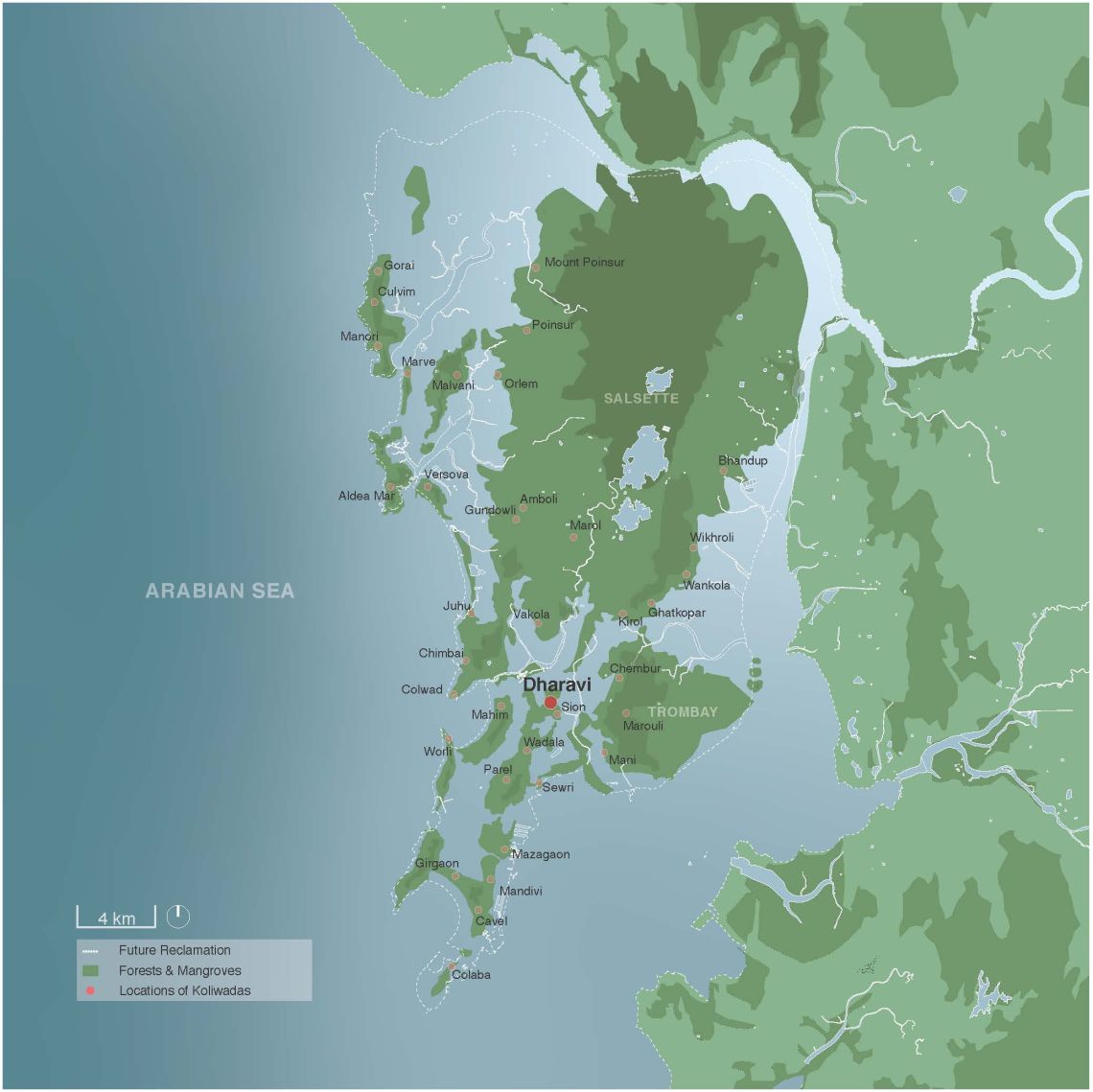
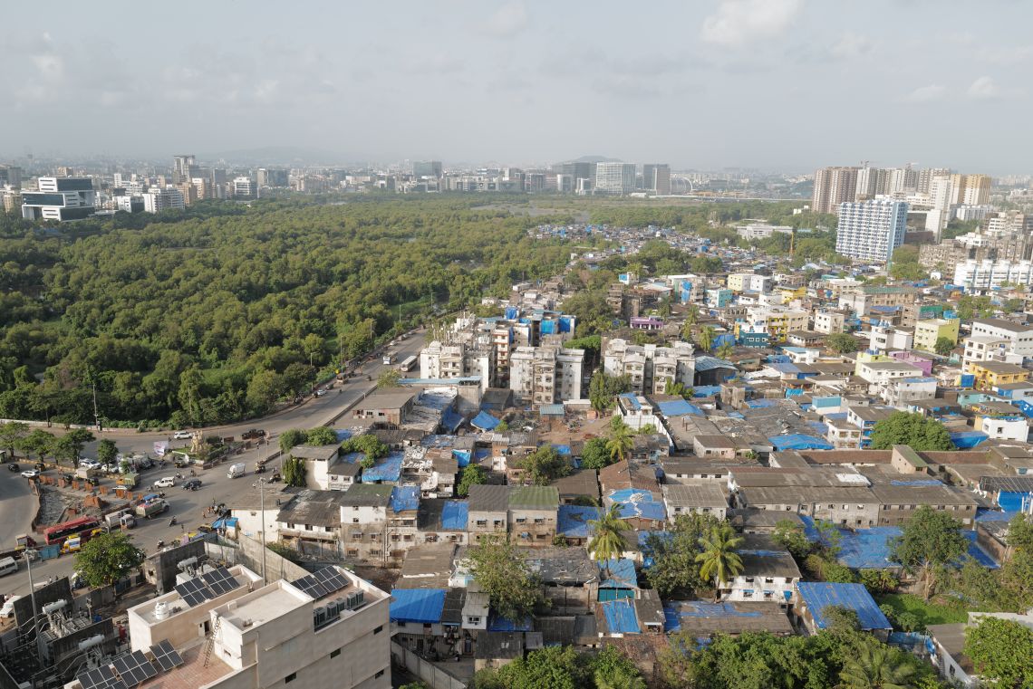
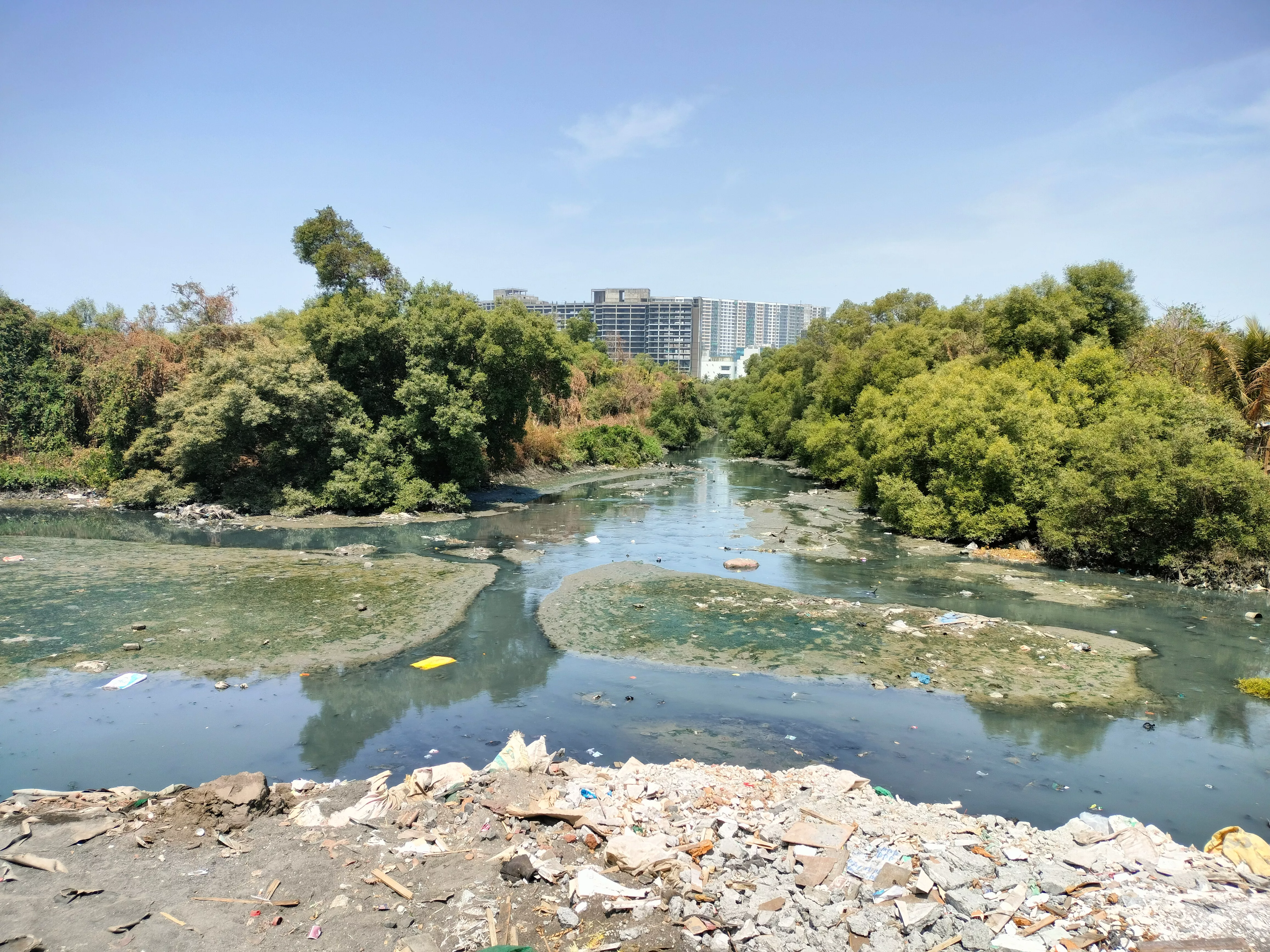
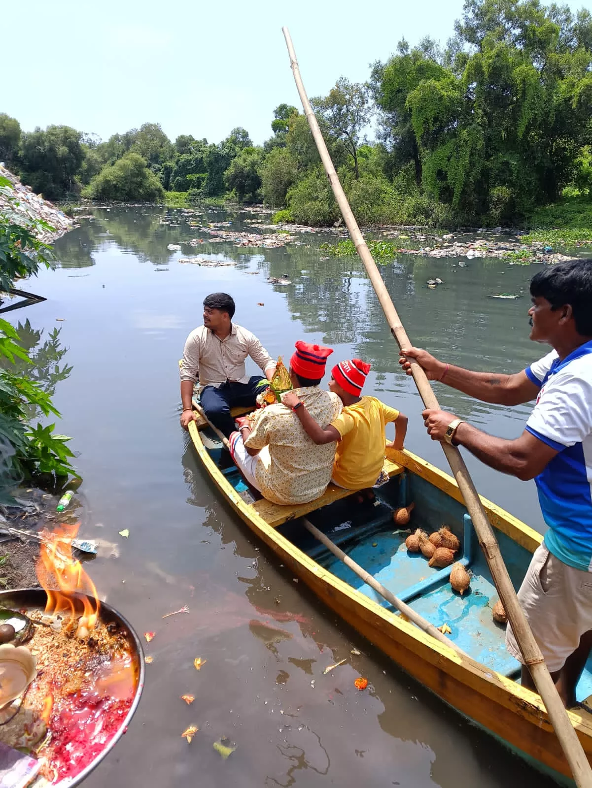
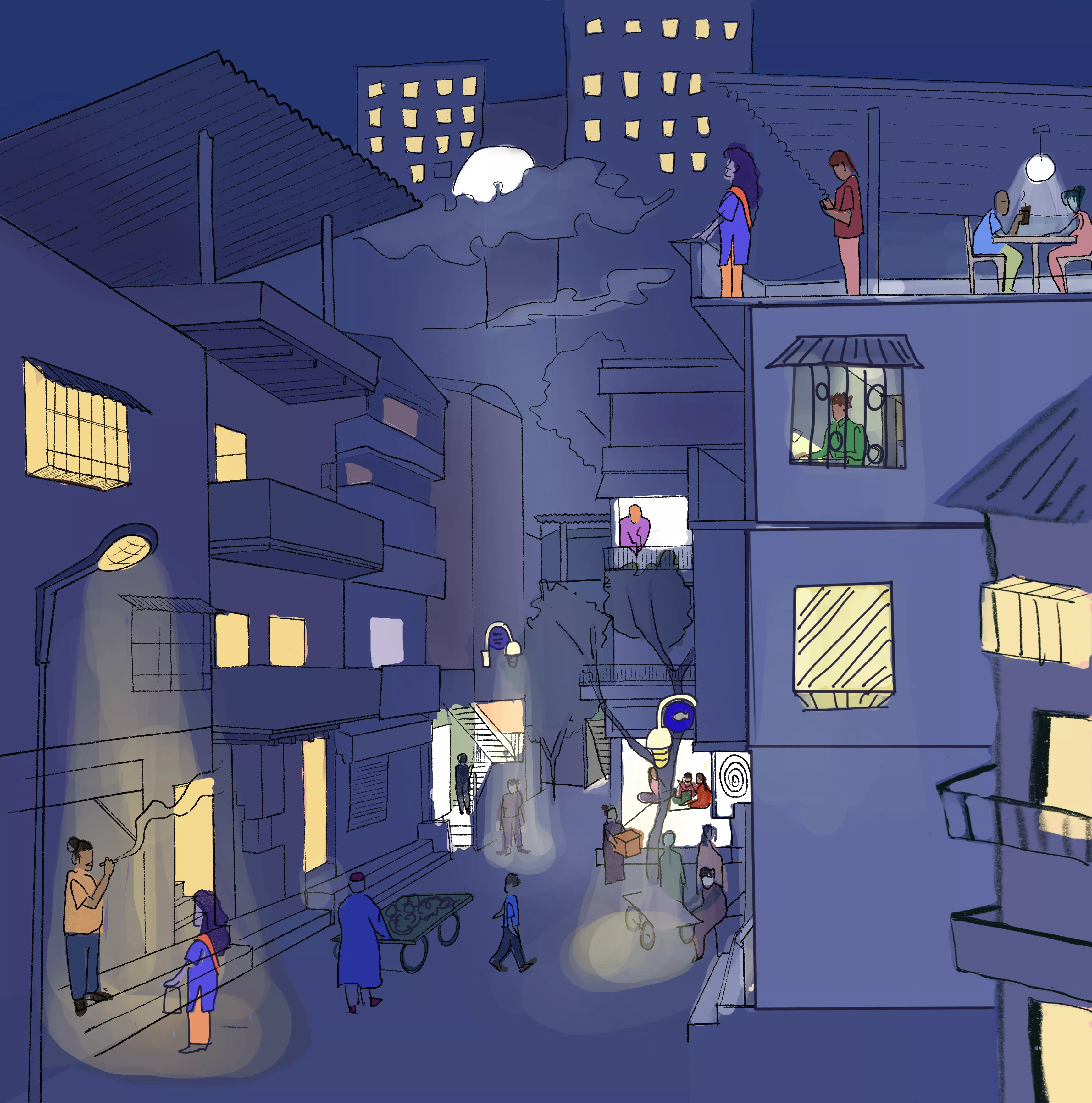
The Koli’s are skilled at watercraft. Before Mumbai was born, they travelled by boat across the sea and the backwaters to reach their kith and kin, spread over the numerous island hamlets, that eventually became the gigantic metropolis. The Koli’s of Dharavi remember the sandy banks of the Mithi River, with water as clear as glass. During low tide, they could walk right across to the opposite bank, foraging for clams and prawns. Now we see water burdened with sewage and garbage, with Mumbai’s business district - the Bandra Kurla Complex - looming in the background.
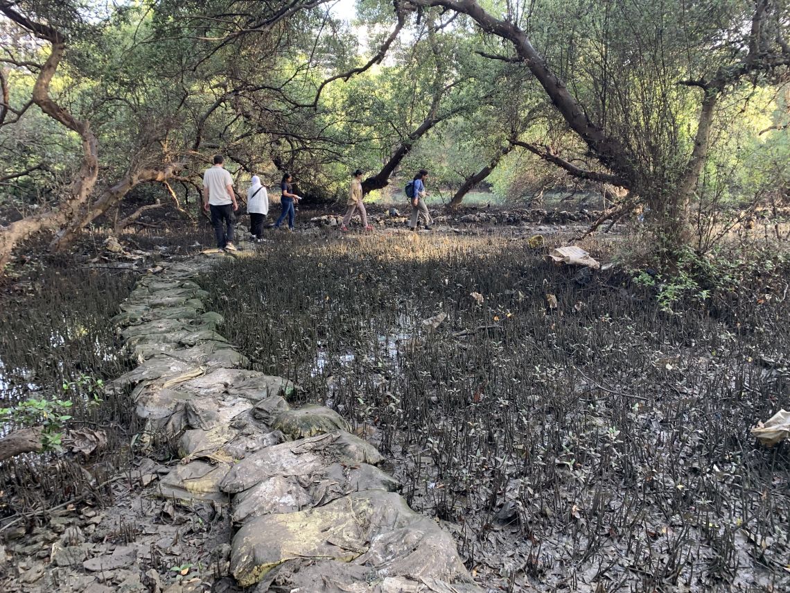
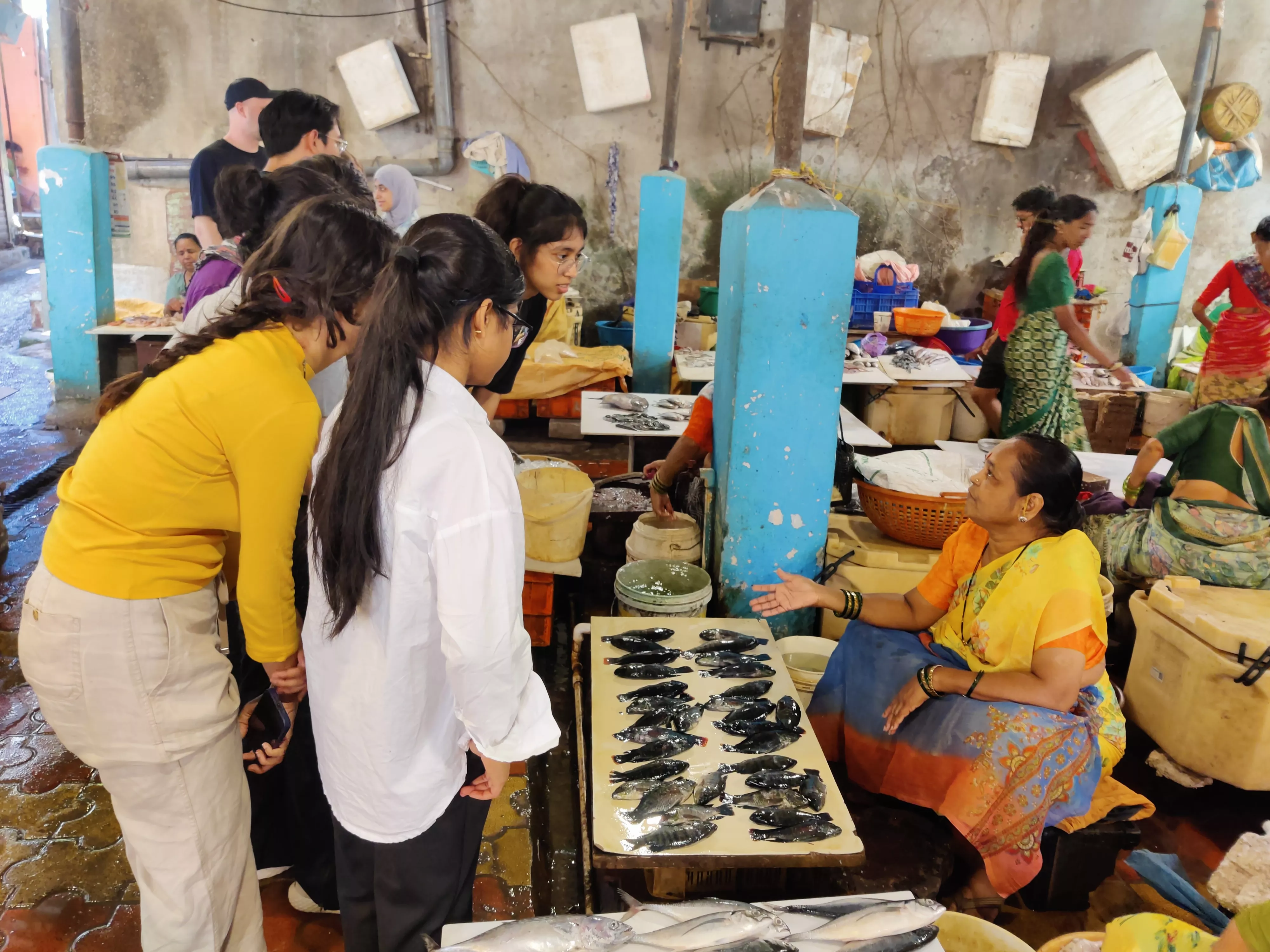
Yet, despite this contaminated scenario, the Koli’s connection to water is not so easily severed. Hidden in the mangroves of the Mithi are around 50 fish farming ponds. Over 200 years old, these ponds are still in use. While their ancestors could venture into the marshy waters, looking for clams, prawns, and other estuarine species, they also systematically practised aquaculture through this network of man-made ponds. Each family is familiar with this aqueous landscape, still fiercely tending to the ponds they inherited. The ponds are connected to the surrounding waters via sluice gates that allow saltwater to enter during the high tide and prevent polluted water and garbage from entering at other times. The fish caught in these ponds are sold metres away in the fish market of Dharavi Koliwada.


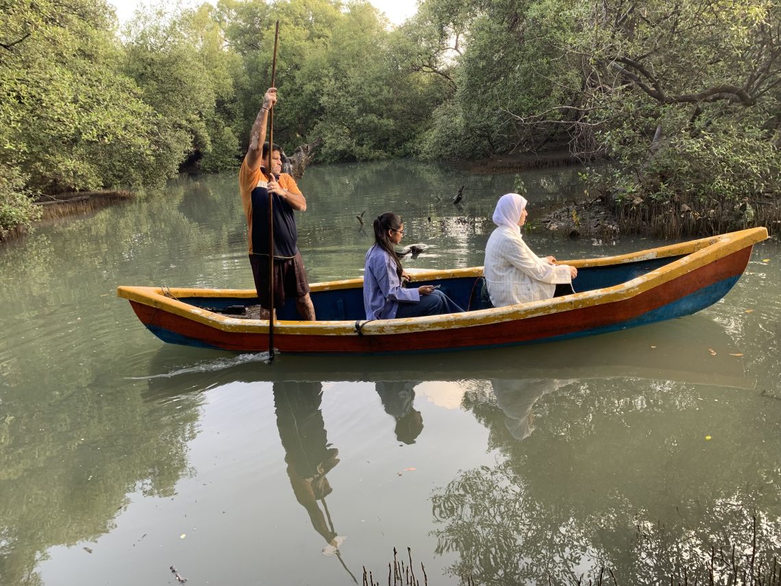


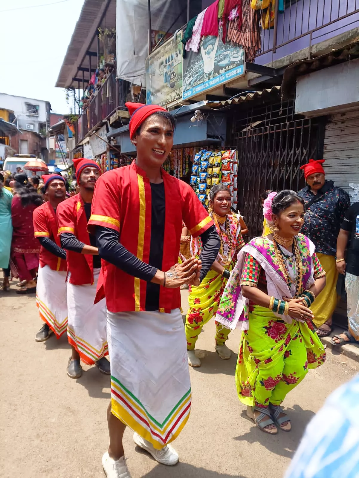
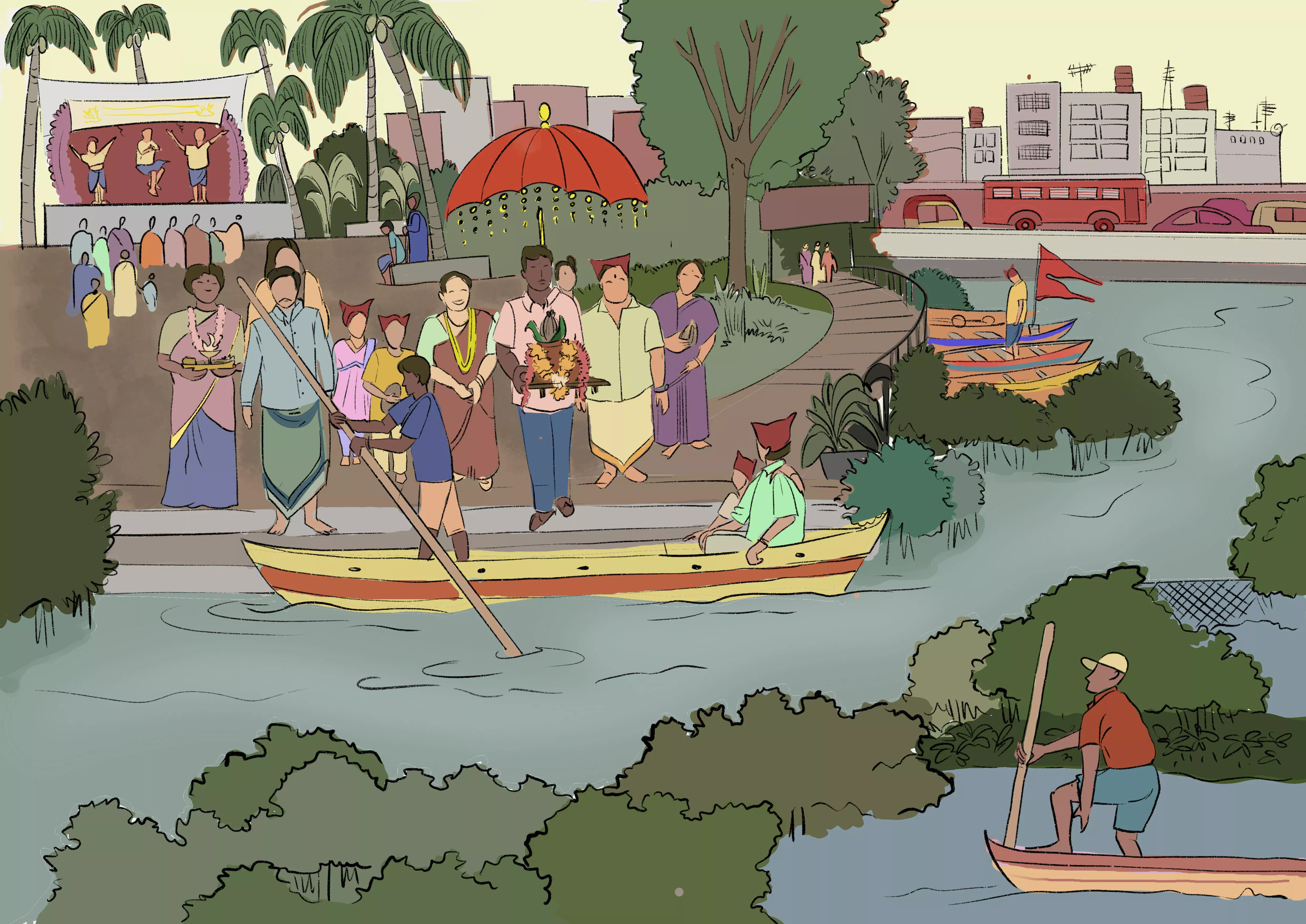
It is no surprise that for many Koli’s, their neighbourhood is a watery terrain. It includes routes to their ponds, hideaways for their boats and a shifting edge between land and water. Their idea of home is amphibious. Their connection to the water is not only material but also spiritual. Godhood is attributed to the waters. As the monsoons pause, on the full moon in July or August, fishing communities along the Konkan coast prepare to celebrate Narali Purnima and worship Lord Varuna - the Sea God. Dharavi Koliwada worships the Mithi River, its historical ally. On this day, the neighbourhood is out on the streets in full festive form, slowly merging into the procession that sings and dances its way to the banks of the river, laden with offerings of coconuts and flowers.
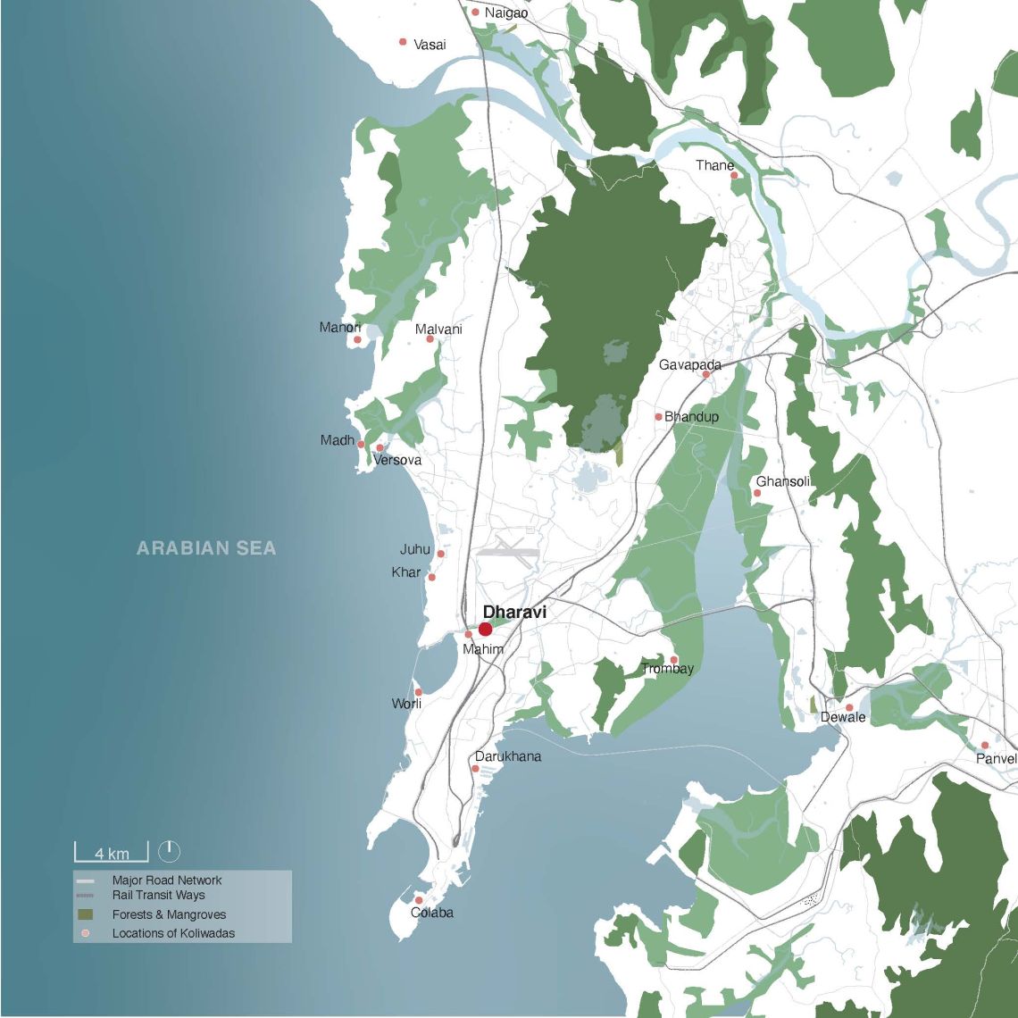
Although the Koli’s are becoming occupationally diverse, they still live on ancestral land that is ecologically connected to their traditional habitats. Over the years, insensitive development has degraded the health and quality of this amphibious habitat. The impacts of unimaginative urbanisation make it difficult for the Kolis to use and maintain their natural environment.


Dharavi Koliwada has been described in many ways - fishing hamlet, urban village, and indigenous settlement, while all these are true, they evoke a land-based conception of place. Dharavi Koliwada has been mapped over the centuries to define its terrestrial boundaries. The waters are part of the commons, a collectively shared habitat, that doesn’t lend itself easily to mapping or division between individual owners. Over the last decades, the Koli’s have had to cede most of these watery commons. They are left with colonial-era maps to help claim the land that is rightfully theirs. Ironically, it is these maps that legitimise land ownership by an indigenous community that knows no other home.
Ownership implies a responsibility and accountability for that which is owned. While the Koli’s continue to feel responsible for and access this aqueous terrain, the logic of land ownership and environmental governance does not fully encourage an amphibious way of being. Will it eventually become inaccessible to the Koli’s, only to be further neglected or reduced to a riverfront?
It is historically evident that as much as landscapes are natural, they are also culturally produced. Indigenous communities across the world have co-evolved with their natural environments - worshipping them, tending to them and sustaining because of them. How Dharavi Koliwada adapts will present an interesting opportunity to learn how we could reclaim responsibility for our habitats.
Dharavi Koliwada like any other neighbourhood is always at the threshold of continuity and transformation. What continues and what transforms? The answers are spelt out in household conversations, local gatherings and daily actions. Often, the impacts of environmental degradation are far removed from the tactility of human and more than human interactions. But it is in these local and deep interactions that we may find plausible solutions to global problems - if we only care to listen.

Related articles
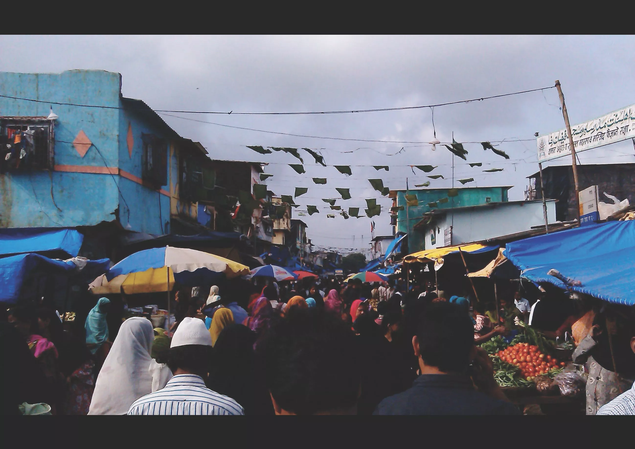
While residents may live here and work elsewhere, this neighbourhood also shows a high level of its own economic activities.

Over the last few months, we at urbz have been talking about interventions to engage with the ecological and economic aspects of the mangroves. So we went on an expedition to explore the mangroves near Dharavi.
In this article, we situate ourselves in Chile and examine homegrown neighbourhoods in various terrains.
As part of the ABCD project, street lighting emerged as an urgent need for the residents of Dharavi Koliwada. A need that was addressed through a year-long collaboration between urbz, the Dharavi Koli Jamat, local electricians and residents. Read about how the process unfolded and what comes next.
This compilation of prose and poetry emerges from the most incredible time I spent in Dharavi working with urbz Mumbai.

Satish Dalvi, a second-generation Dharavi resident whose journey from sanitation work to caregiving exposes the layered realities of caste, labor, and survival in Mumbai. As an outspoken activist and rationalist, his quiet rebellion against exploitation and superstition carves space for dignity and resistance in the city.

This article is part of the following collection
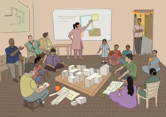
urbz has spent the last fifteen years in the neighbourhood of Dharavi, actively participating in the user-driven evolution of its material and social life. This has given us the confidence to conceptualise and embark on a project called “The ABCD of Dharavi Koliwada” - An Action Based Comprehensive Development Plan that aims to support the incremental development of the neighbourhood.